Tongariro Northern Circuit
The food is neatly sorted out into single zip bags, clothes and a tent are in backpacks. Our four-wheel hotel is ready to go. After we’d made the very popular Tongariro Alpine Crossing, we decided to use one of the long weekends and undertake the less touristic Tongariro Northern Circuit. Our first Great Walk.
After a four hours long drive, we arrived at Mangahuia campsite where we spent the night. The campground had all necessary facilities and also plenty of space. The more we were surprised when we woke up and there was another car parked right next to us.

The next day we drove over to Whakapapa Village where the track begins. We were going to walk the circuit anti-clockwise but it is possible to make it in either direction.
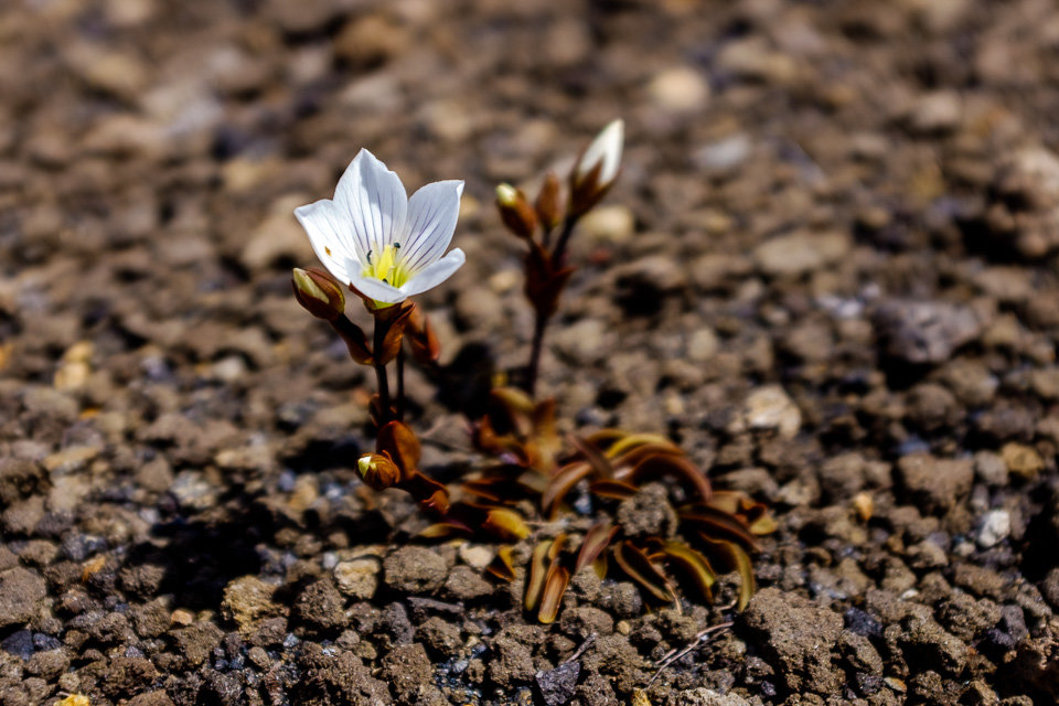
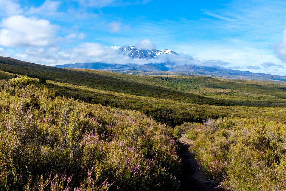
The first sections to Taranaki Falls as well as to Tama Lakes were easy and even with heavy backpacks the distance went quickly by. We’d already known those sections from our previous winter trips.

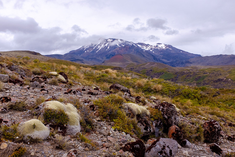
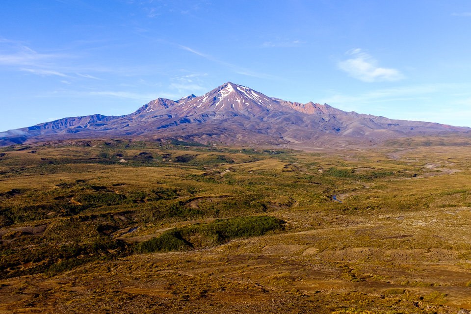
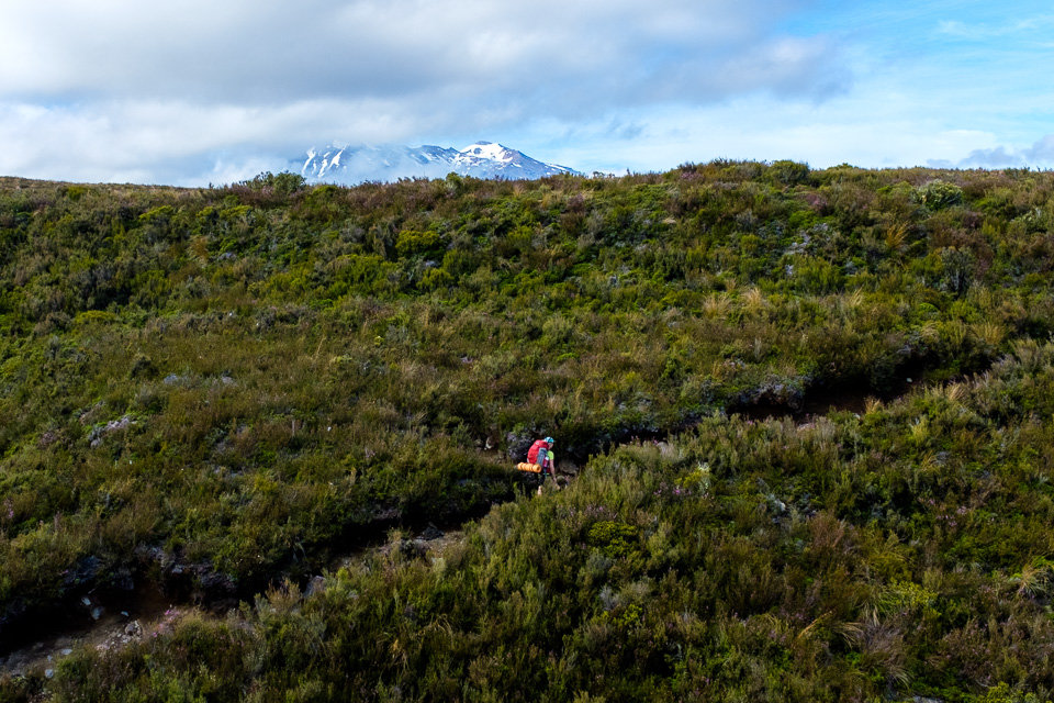
The path led among tussock and shrubs and on the right-hand side Mt Ruapehu hid its snow-covered top in gray clouds. All the way to historic Waihohonu Hut we hardly met any other people.
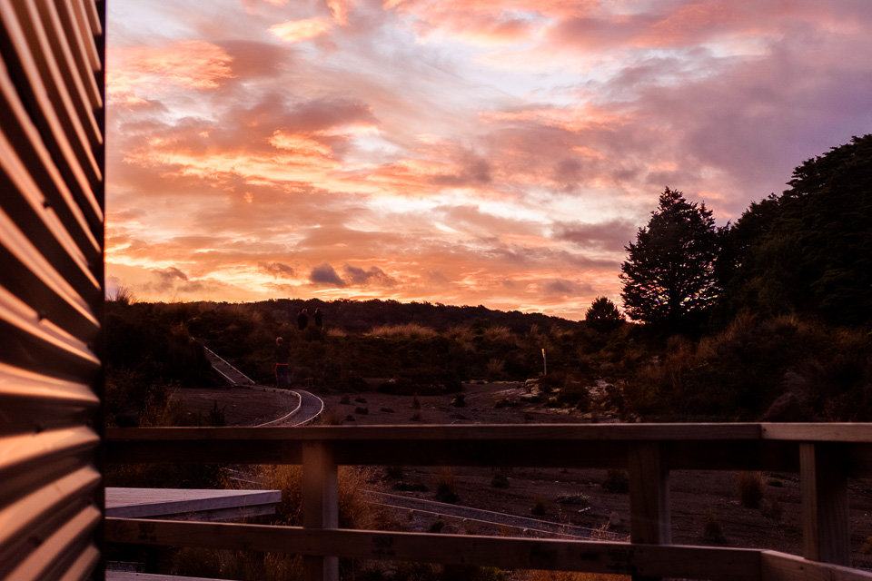
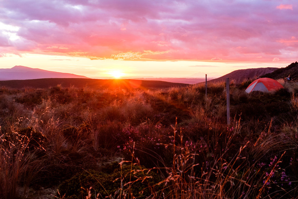
When we arrived at new Waihohonu Hut, the place we were going to stay over the night, we still had a plenty of time for a side trip to Ohinepango Springs. The springs bubbling up from the old lava flow were only 30min walk from the hut. By the time we went back for dinner, the clouds cleared up a bit and the sky turned into an amazing colorful sunset .
The Waihohonu campsite was located a few meters down from the hut and it was set up right next to the stream which made a relaxing burbling background for sleep.
We woke up to a beautiful sunny day. As it was going to be the most arduous day from all three, we hit the trail early. The path went up and down across stream valleys and our backpacks were definitely heavier than the previous day.
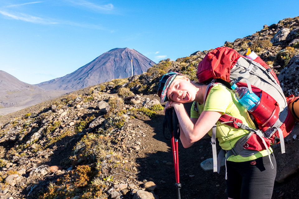
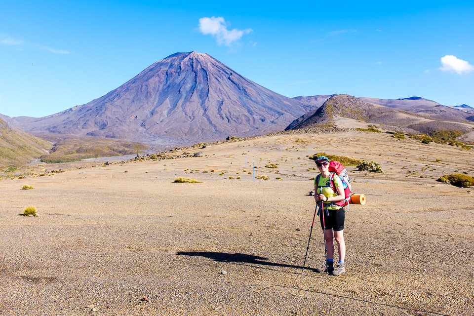
The parched gravel field spread all around with occasional plants and a perfect cone of Mt Ngauruhoe was in nice contrast with blue sky.
After about two hours we reached the Oturere Hut where we made a break and had some refreshment. We found out that staying in Oturere Hut for the first night would probably have been a more convenient option and would have made the second day much easier.
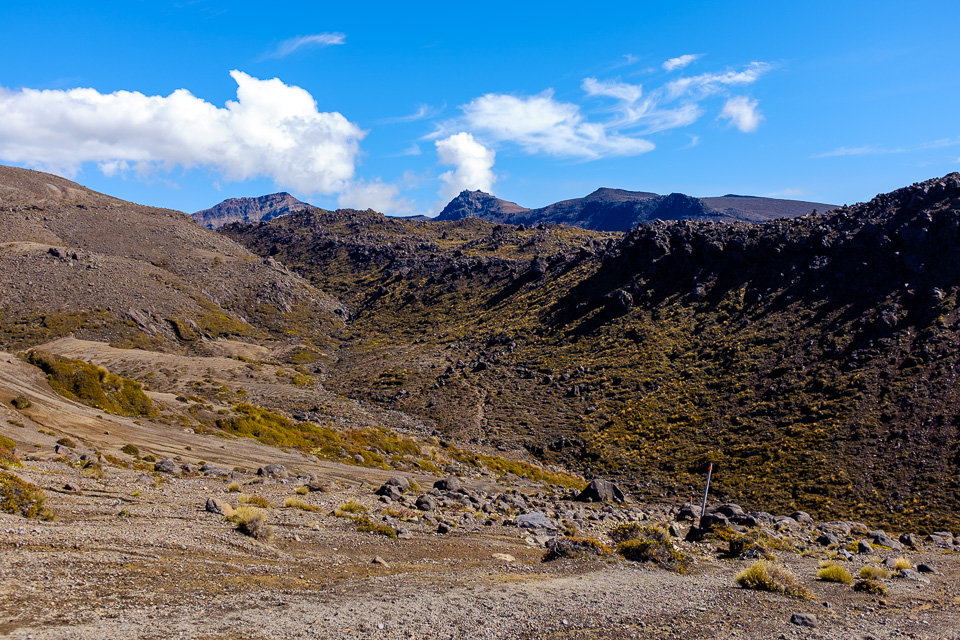
As we carried on towards Emerald Lakes, the landscape changed again and the path weaves through jagged lava formations.
The last section to Emerald lakes was a 200m altitude steep ascend and I think that we stopped every few meters to catch a breath. It was such a relieve when we finally got over the edge and spotted the lakes.
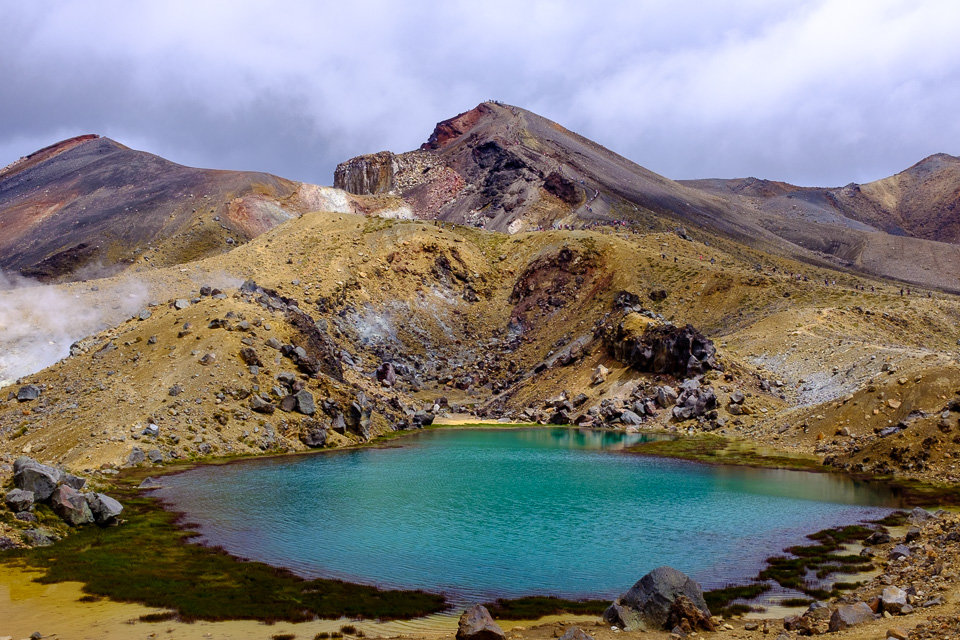
At that point, the track merged up with Tongariro Crossing track. The number of tourists rocketed and we watched them how they were slowly descending from Red Crater down to the Central Crater. Like a line of ants. As we crawled uphill, we had to be quite careful as some people moved a bit clumsily in loose volcanic debris.
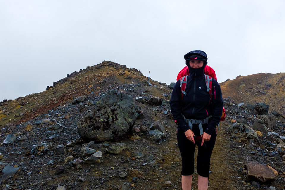
Unfortunately, by the time we reached the top of Red Crater, everything around had got covered by dense clouds and it started to drizzle. Despite our tiredness, we decided to do the side trip to Mt Tongariro summit as we skipped that one during our last time at Tongariro Crossing.
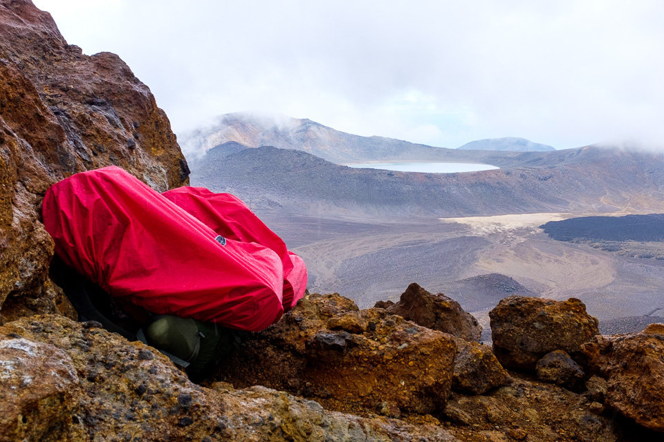
Approximately one and half hour return walk followed the ridge and required a few climbs over the rocks. When we got further from the busy junction with Tongariro Crossing trail, we just left our backpacks next to the one of rock formation and carried to the summit without them. We were suddenly about 12kg lighter.

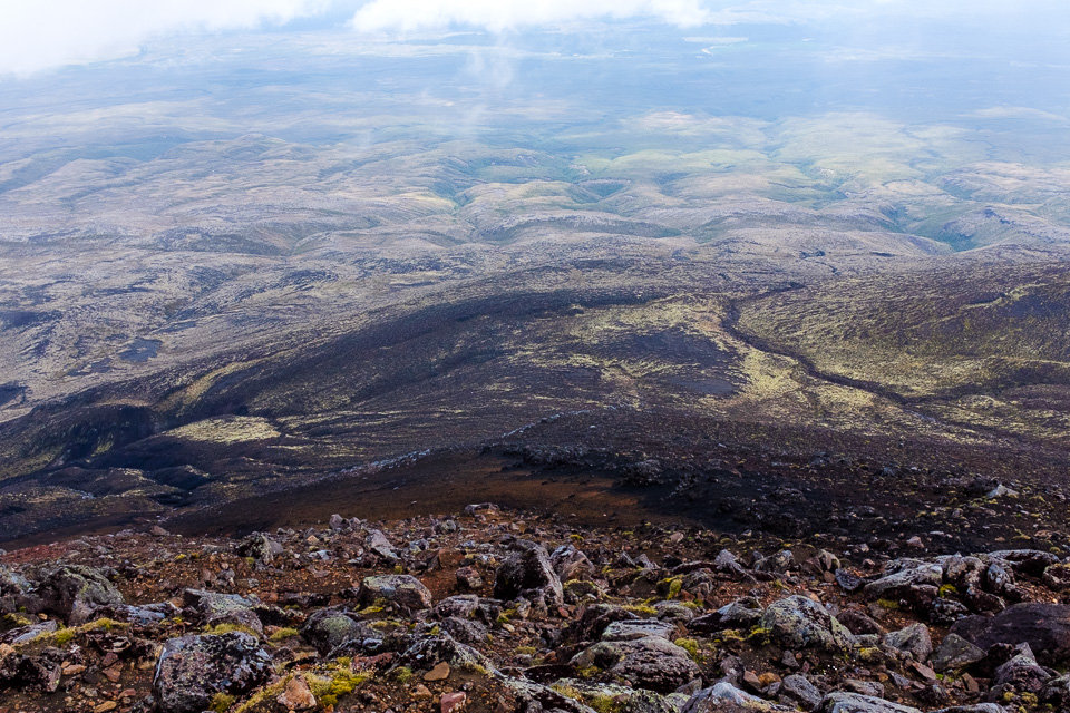
Almost as we would have planned it, when we reached the summit the clouds cleared up and we had a great view of South Crater whose slopes created an amazing combination of all brown, orange and gray shades. On the other side was a totally different view of gradually sloping hill with valleys eroded by a number of the little streams
After returning back to the junction, the main track steeply descended. We crossed the wide South Crater and then climbed down a number of steps before we reached Soda Springs. From there, it was already an easy 30 min walk on the wooden platform and in the distance we could see the roof of the Mangatepopo Hut – our final destination for the day.
On the third day, we had to finish the last section between Mangatepopo Hut and Whakapapa Village. The weather was nice and from some points along the track, we had a nice view of surrounding volcanoes. But even though, it was probably the least exciting part of the whole track as most of the time the path led through dense shrub and we could not see anything.
After about 3 hours, the track merged with Taranaki Falls track and we could cool our tired feet in Wairere stream before we finished the last bit and came to Whakapapa Village.
All in all, the Tongariro Northern Circuit was definitely worth all the effort and sweating. With great views, fewer tourists on the track and nice camping spots we gave it our preference to its shorter Tongariro Alpine Crossing version. Definitely one of our most favorite hikes, so far.