Queen Charlotte Track
The first time I’d heard about this track was when a friend of mine sent me an article from National Geographic about a selection of world’s best hikes. After a short discussion, we booked a ferry, bought passes for access to private land and then just hoped for a good weather.

A few weeks later, we boarded a ferry and headed off to South Island. The sea was much calmer than the last time when we were on the way back to Wellington from our Christmas holiday and when a half of passengers on board was sick.
We spent the night in one of Picton’s backpackers and the next morning we and our big backpacks were ready to set off. The sun was shining and the cruise on the boat which took us to the beginning of the track was a great start of the day.
We started our hike at Ship Cove and planned to stay in campsites located on the ridge, so we took all our stuff with us. A tent, sleeping bags, food and camping gear for three days – our bags probably weighed about 12 kg.
When we were planning the track, I assumed that as it runs along the coast and the highest peak is about 400 m asl., the hike wouldn’t be difficult. The distances supposed to be long but elevation should be fine. I was wrong. The first day, we climbed about 1400 m in total as the path ran up and down all the time.

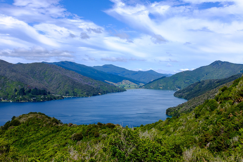
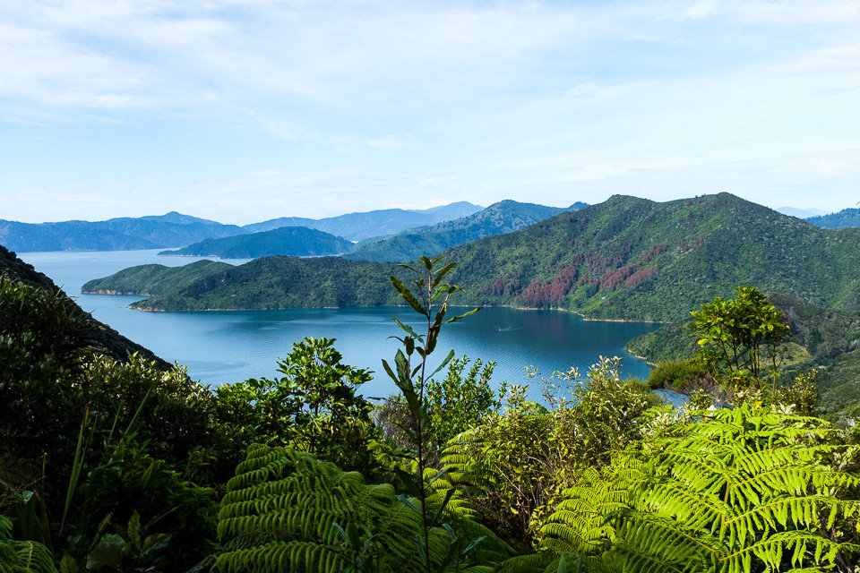
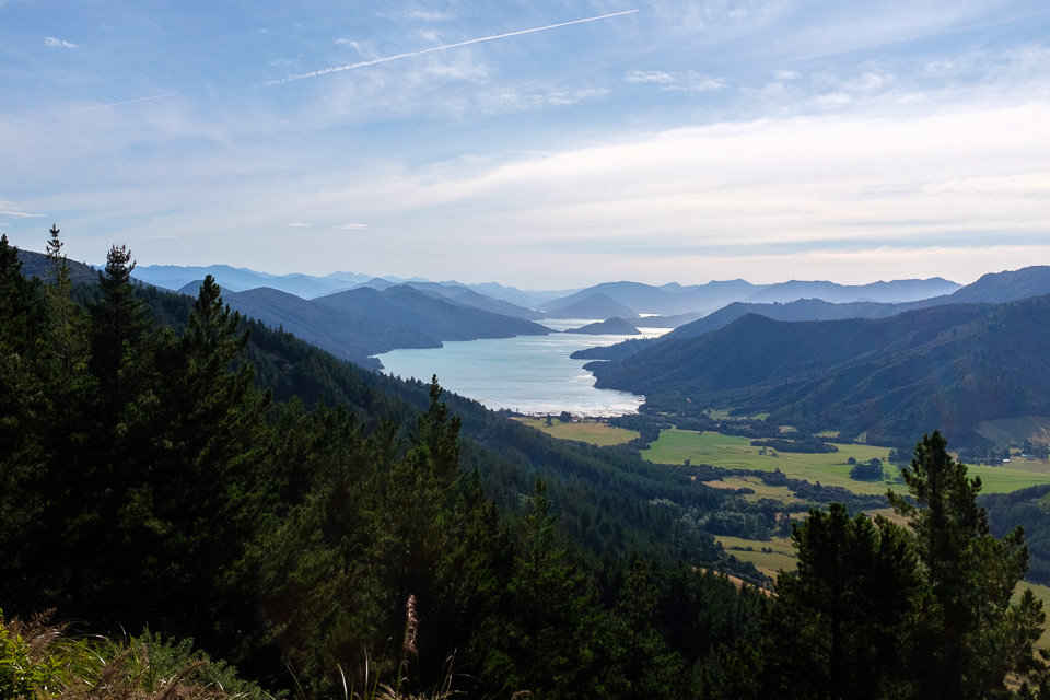
On the way to Furneaux Lodge, where we were going to catch a water taxi across Endeavour Inlet to Punga Cove, we walked through the cooling native forest and passed a few amazing lookouts with views of small bays.
The section between Punga Cove and a campsite at Bay of Many Coves was a bit struggle. I had sore feet because of too thick socks, was stung by a wasp and, in general, it was quite a long day. Therefore, we hesitated a little whether to do or not to do a side track to Eatwell’s Lookout. So lucky that we did it because the 360-degree view from the lookout was absolutely stunning.
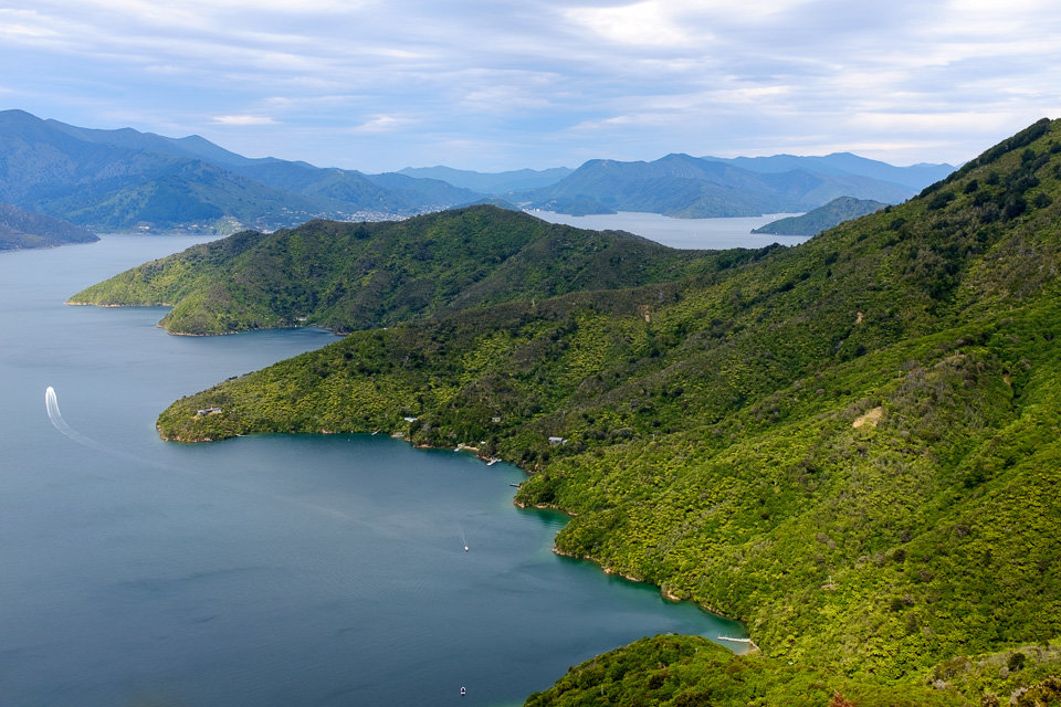
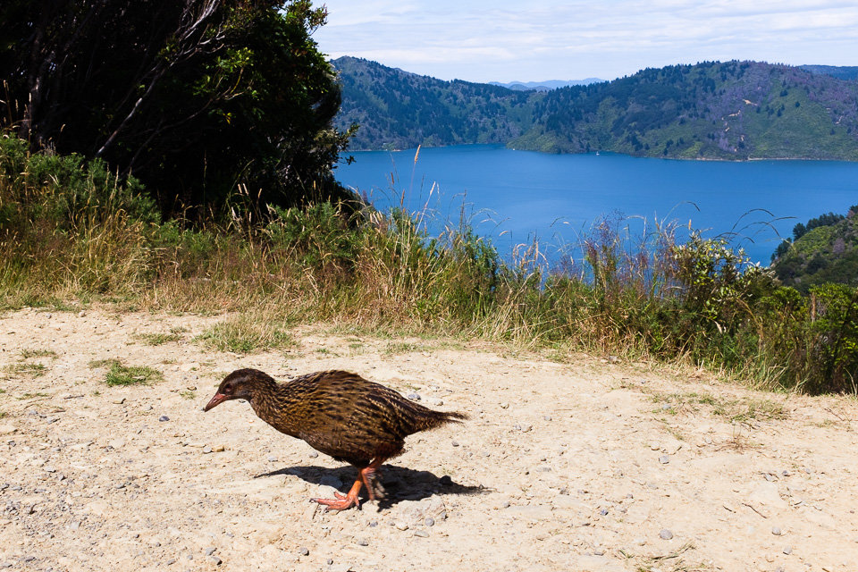
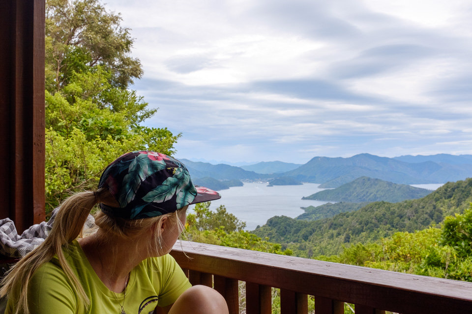
The next day, the track followed the ridge line with views over both Queen Charlotte Sound and Kenepuru Sound. At selected locations along the track, there are nice new benches made from massive wood where you can enjoy a view. During our breaks, most of the time, fearless wekas kept us company.
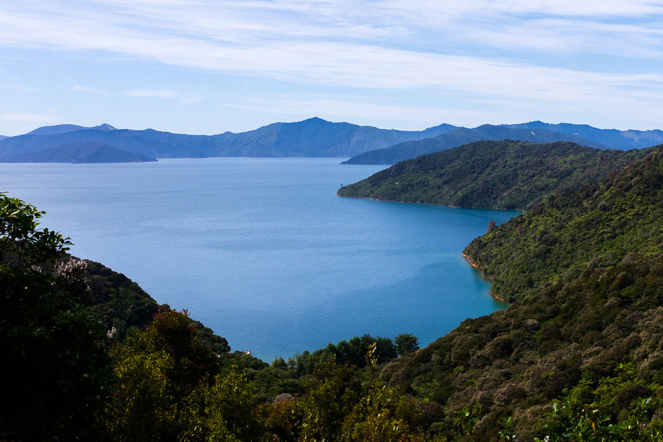
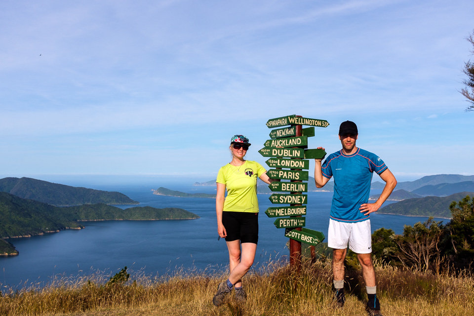
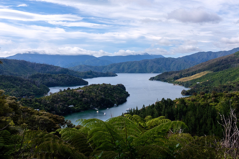
As it was just shortly after midday when we reached Torea Saddle, we decided to carry on and spent the night at Mistletoe Bay campsite which would save us some time the next day when we would rush to catch a water taxi back to Picton. We regretted this decision a little bit as we scrambled up to the highest point on the track which, however, made it up to us with more great views.
When we descended from the summit, we met a man who was working on track maintenance. It was an interesting character that was really keen on holding a philosophical conversation about where the world is aiming to. After a half an hour we left enriched with a few latin expressions (which were a bit wrong as Jakub realised later).
The final descent to the Mistletoe Bay Campsite was quite exhausting as we followed a steep shortcut which ran along not a well-maintained path and at one point we were afraid that we would have to turn back and climb it all the way back. Luckily, after a while, we reached the sealed road and, eventually, the campsite as well.
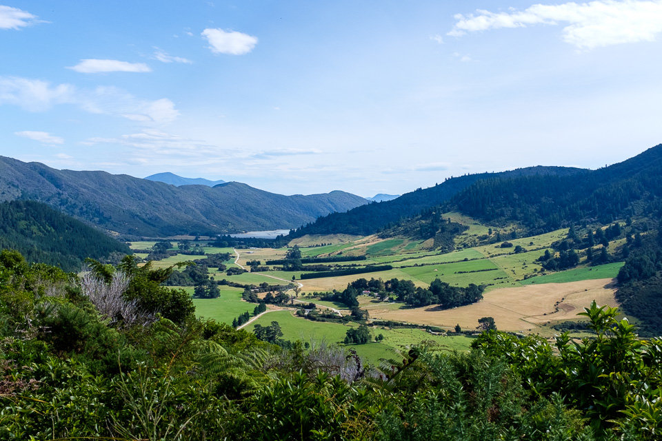
There were only 4 hours of walking left for the last day. After the initial climb from Mistletoe Bay, the track ran quite easily along the same contour line before it descended back to the coastline. In spite of that, it seemed to us like ages before we finally got to Anakiwa.